

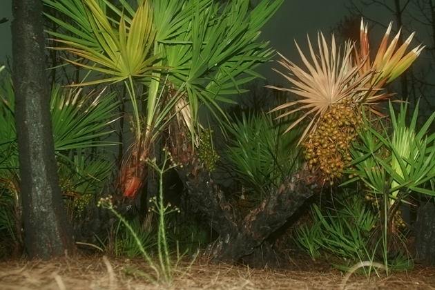


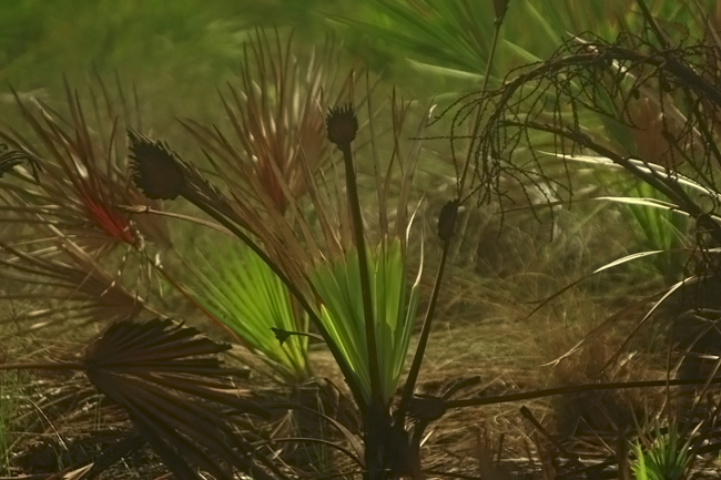



TOP LEFT : ( "Day In Paradise" ) I never thought I would get an image like this on the trail of "The Pine Island Flatwoods Preserve" . "Color" caught my eyes in the early going. A brushfire , most likely the result of summer lightning , burned some of the brush and the bottoms of some of the trees. I noticed a lot of contrast created from , burned trees and brush , green brush , bright looking (but dead or withering) palm branches, and fruit looking growth. While dark clouds loomed in the background, I made this digital snapshot . Location -- drive west out of Cape Coral , Florida on Pine Island Road. When the road ends , turn left (south) on Stringfellow Road . Keep a close lookout for a pulloff on the right (a few miles down). If you drive along the islands shores , you will find many other scenic locations to take interesting photos.
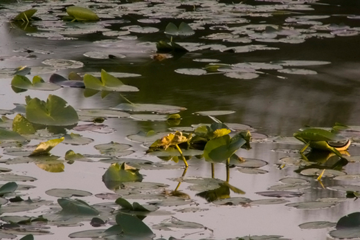
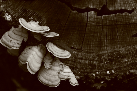
ABOVE : ( "Life From The Ashes" ) Another spot effected by brushfire -- this time the location was along the lower loop area of the "North Marsh Trail" in "Hickeys Creek Mitigation Park" near Alva , Florida. AT RIGHT : Lilly pads as shot from the pier of the "Hickeys Creek Trail" - not far from the trailhead . ABOVE RIGHT - Tree Stump ( "Strange Growth" ) Tree Fungus - "Hickeys Creek Trail". Park location : Not far from Cape Coral and Fort Myers . To get to Hickeys Creek , drive Interstate 75 until you reach exit number 141. Head east on Palm Beach Boulevard ( Route 80 ) for about 8 miles. If you see the road named "Hickeys Creek" -- do NOT turn there. Shortly after that street is a small brown sign that says - Hickeys Creek. Drive about 20 yards "past it" & turn right .You are there ! (the sign implies you shoud turn in front of it).
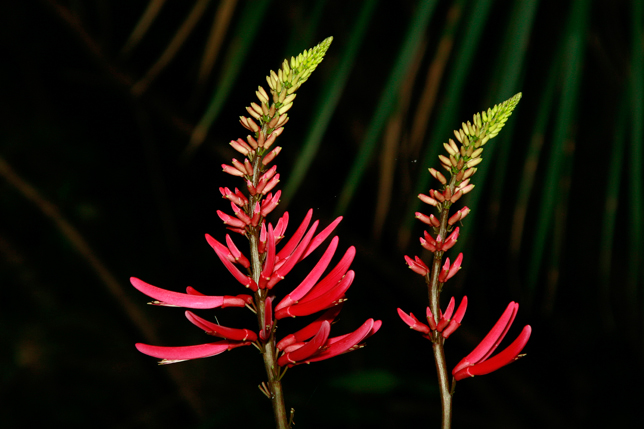
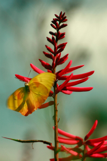
TOP RIGHT : ( "Lipstick Beauty" ) I spotted this pretty red growth in " Caloosahatchee Regional Park " . Hiking the " Palmetto Path Trail " - I was near the parks southwest corner. The park is located on the opposit side of the Caloosahatchee River from Hickeys Creek. I do not know the name of the plant but someone told me it's called "Coral Bean". To reach the park , take Interstate 75. Get off at the " Bayshore Road " exit (it is a very short distance north of exit 141). Drive east until the road comes to an end , then turn left (route 31). Just a short distance down the road is a gas station. Turn right. The park is about seven miles down. The north section seems less scenic to me but it has trails both for horseback riding and for bycycling (no motor bikes ) . The entrance to the south section is a few hundred yards further down the road .The south section has a lot more shade , is more scenic , and much more fun to hike on . One of its trails ( the "Shoreline Trail" ) follows the Caloosahatchee River. My favorite trail is named the " River Hammock Trail " and it's a great place to bring a digital camera. Both Caloosahatchee Regional Park and Hickeys Creek Mitigation Park have very extensive trail systems . There isn't an entrance fee to either park but there is a parking fee of a dollar per hour -- up to a maximum of five dollars. Both parks close at sunset but you can stay longer , exiting through an electronic gate. In summer bring lots of drinking water ( it's very steamy ) and insect repellent . More on Hickeys Creek FAR RIGHT : A Butterfly at "Caloosahatchee Regional Park".

