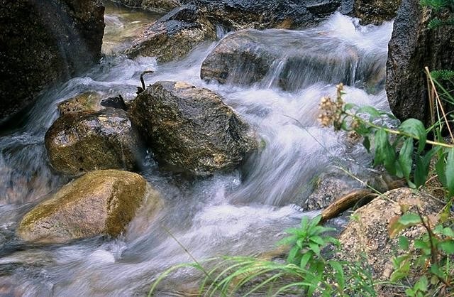


The trail heads straight out .At first sight it doesn't appear enticing. Soon it curved to the right --arriving at a cascade-- one of the prettiest spots on the trail. Next the trail followed a stream (image above), occasionally visable to my left. I could hear the soothing sound of water rushing past partially submerged rocks. Eventually I came to a split and veered left toward Taggart Lake. A right turn would have lead me to Bradley Lake.
Somewhere in this general area the ground sloped gently, surrounding me with large boulders and open terrain. Here , the Teton Mountain Range , tall and steep, was clearly visable. While walking through a nearby section of the trail , I came to a wooded area. Hiking through the woods felt different than any other trail I have been on recently. Trees growing close together were only about 10 or 15 feet tall. A forest fire must have leveled this spot , perhaps 10 or 20 years ago. I realized I was walking through a forest "on the rebound, a virgin forest!"
If you veer right where the trail splits (top paragragh) and head to Bradley Lake instead of Taggart, the trail rises in elevation a little bit. There are occasional inclines that (at certain times of the year) may sometimes have wildflowers. Once at Bradley you can cut over to Taggart Lake. Near the southeast corner of Taggart Lake, is a trail about a half mile long that heads east . This takes you back to the the original trail cutoff and eventually the trail head. Taking this longer hike is more challenging and well worth it if you have the time(It's still only a day hike).
On either route consider going early as the sun will be shining directly at you on the hike out late in the afternoon. Trying to use trees to filter the sun rays out of your lens and eyes can be difficult on this trail . DIRECTIONS : From Jackson , Wyoming drive north on Highway(s) 191/26/89. At Moose Junction be sure to turn left onto "Teton Park Road". After about 5 miles (or so) , is a pulloff and parking area . This is where the Taggart Lake trailhead is located . A post in the ground sometimes has maps.